What is CIM and Its variants? How CIM is related to BIM?
Introduction:
CIM can refer to Civil Information Modeling, City Information Modeling, or Construction Information Modeling. It focuses on expanding BIM or Building Information Modeling in space and time on a larger scale with interconnecting relationships between buildings, their sites, peoples and objects that occupy them. To fully grasp the capacity of CIM, it is important to understand versions of CIM and its potential implications for Architectural practice.

What exactly is CIM or Civil Information Modeling?
CIM or Civil Information Modeling is like BIM, but it is suitable for horizontal construction projects, such as roads, highways, tunnels, etc. The attributes or properties of such infrastructure is different than compared to buildings such as site conditions, coordination of traffic during construction, etc.
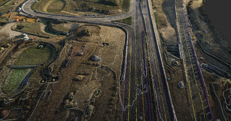
Remote sensing is primarily used to capture existing conditions into virtual environment. This can be done using scanning methodologies and devices which collects data in the form of point clouds. These point clouds can be utilized in Automated Machine Guidance i.e. to provide detailed work information to heavy machine operators such as excavators and graders.
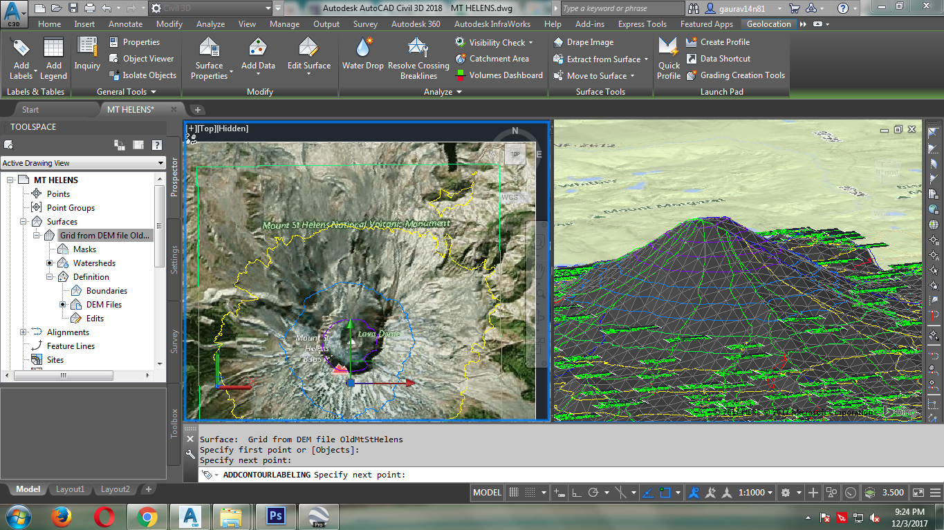
Civil Engineering Modeling is growing rapidly, mostly in the transportation industry. Some common tools includes AutoCAD Civil 3D and Infraworks. LandXML enables file sharing among different software platforms. Although Civil Information Modeling or CIM is still in early stages of utilization, but it’s swift adoption leads to the demand of expanding BIM applications in physical scope.

What is CIM or Construction Information Modeling?
CIM or Construction Information Modeling emphasizes more on the monitoring of heavy civil engineering projects. Thus it can also be refer to Construction Information Management. One such project example is the construction of The Mikusa Tunnel, Japan constructed by Obayashi Corporation Limited. They maximized the use of digital methods and new materials which includes the excavation surface prediction used for tunnelling navigation and constructing with enhanced and durable concrete. Several Revit and Civil 3D models were used and coordinated using Navisworks for better prediction of concrete pouring on-site and managing when, how and where it is to be poured.
The implementation of CIM or Construction Information Modeling improved the project efficiency by 30 percent as compared to conventional documentation methods.
What City Information Modeling or CIM?
CIM or City Information Modeling is primarily used for the application of smart cities. BIM and smart city concept are closely linked to each other where BIM is a tool for smart cities that offers huge potential to help cities deal with growing challenges of urbanization by improving operational efficiency, multi stakeholder cooperation facilitation and cost cutting.
The primary concept is that a virtual twin of a city enables various simulation to tackle common challenges such as traffic congestion, housing demand and supply, environmental degradation by inputting community based inputs.
Conclusion:
The BIM software is revolutionizing the way buildings and infrastructure is designed and constructed. Until recently, it was majorly used by developed nations, but now, due to its appeal and advantages, even developing countries have begun to use it. The BIM process when adopted in urban designing / planning is particularly of use as it caters to the demand and ensures efficient use of resources in an economy that becomes more competitive every day.

